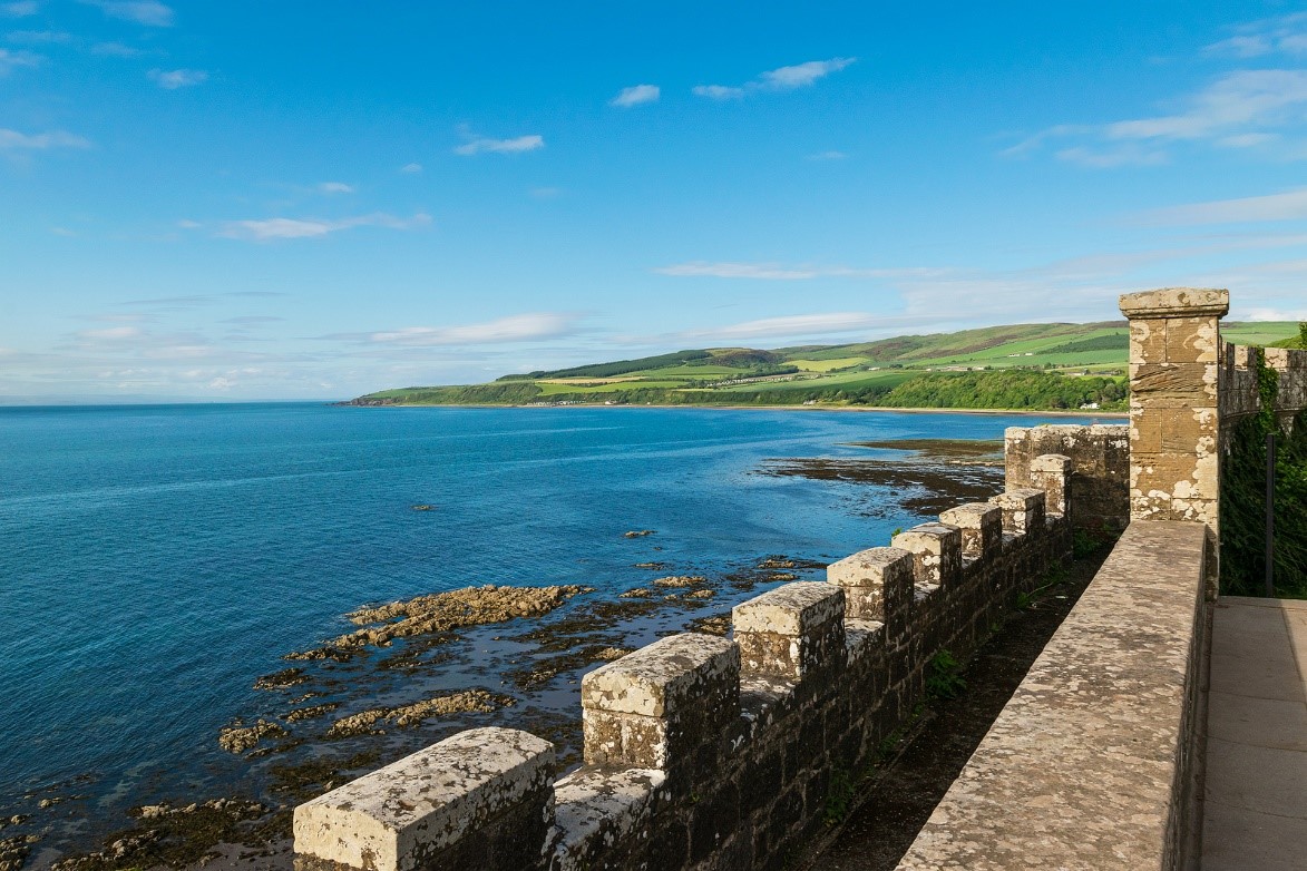
Hampshire based OceanWise Limited who provide marine and coastal mapping worldwide, are very pleased to announce that they have just been awarded the framework agreement for the provision of GIS Marine Data to the Scottish Government until 2026.
Janet Lockey, Key Account Manager for OceanWise comments: “We are really pleased to be supplying our range of Marine Mapping Data products and services to to the Scottish Public Sector, including Scottish Government, 6 public bodies and 15 local authorities. We have been working with this important customer for many years now and have built up a great relationship with those involved. We will be providing not only our flagship product ‘Marine Themes Vector’ but also our Marine Themes Digital Elevation Model (DEM), full range of Raster Charts and our Web Map Service”.
The marine GIS framework feeds essential resources such as Marine Scotland Information (MSI) a “web portal that provides access to descriptions and information about the Scottish marine environment while providing links to datasets and map resources that are made available by Marine Scotland and Partners”.
Janet further comments “We look forward to working with the framework over the next four years and are proud to provide this data for the benefit of important activities such as decision support, analysis, planning and marine asset management.”
Back to News


