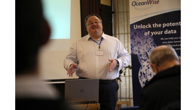
Presented by Warren Vick
During his presentation Warren described, and demonstrated using several examples, the unique challenges of joining land and sea from a cartographic perspective. His insightful presentation culminated in him describing his goal to “develop a vector-based interleaved map, preserving as much cartographic convention as possible, and deploying it as a service”.
Back to News


