Our Marine Themes Vector product Feature Catalogue contains definitions and descriptions of all the spatial object types, their attributes and unique codes occurring in one or more of our spatial data sets, together with any operations that may be applied to those features [e.g. ISO 191XX — modified]
Our Marine Themes Vector product Feature Catalogue contains definitions and descriptions of all the spatial object types, their attributes and unique codes occurring in one or more of our spatial data sets, together with any operations that may be applied to those features [e.g. ISO 191XX — modified]
Click on a row for more information...
Title
Description
Marine Themes
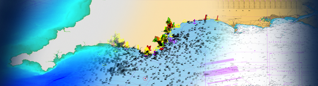
Marine Themes comprises authoritative data from the UK and other hydrographic offices, where available. Each dataset uses the largest scale of data available for a particular feature and scale range, derived either from the production Electronic Navigational Charts (ENCs) or from the original source. The dataset is supplied as individual themed layers corresponding to important marine features required for general situation awareness, planning, site selection and investigation and outline engineering design.
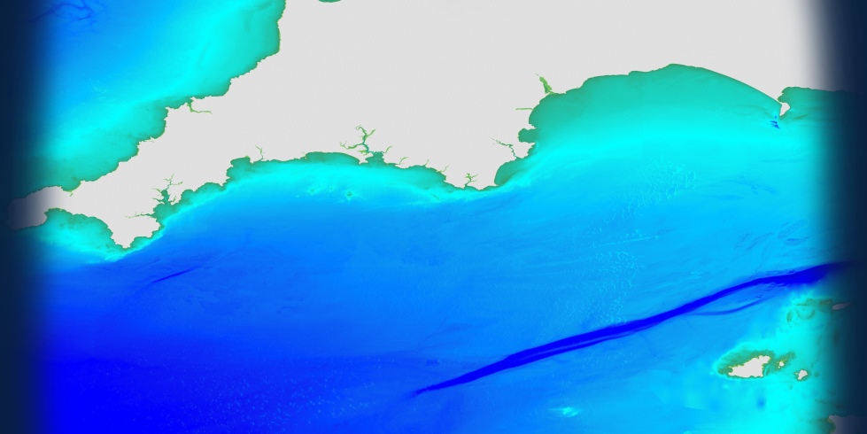
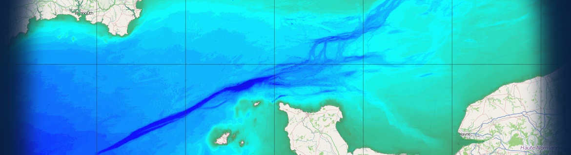
Elevation
The Earth's surface divided into multiple subtidal, intertidal and land areas, contours and spot soundings. Includes bathymetry and multiple shorelines categorised by tidal level and type.
Shipwrecks & Obstructions
Sunken ships and other disused man-made objects. Includes objects being re-used for another purpose and those of historical interest.
Transport
Transport networks and related infrastructure. Includes aids to navigation.
Industrial Facilities
Production, industrial, aquaculture and research facilities. Includes hydrocarbon and renewable energy infrastructure, submarine cables and equipment for environmental monitoring.
Administrative & Management Units
Areas of administration, governance and management at international, national, regional and local levels. Includes national boundaries, dumping sites, safety and prohibition zones and regulated fairways.
Geographical Regions
Names of subtidal and intertidal areas, and other geographical or topographical features of public or historical interest.
Geology
Geological units including bedrock features and sea bed sediments
Tides & Tidal Currents
Tide related features including stations and streams
Our Marine Themes Vector product Feature Catalogue contains definitions and descriptions of all the spatial object types, their attributes and unique codes occurring in one or more of our spatial data sets, together with any operations that may be applied to those features [e.g. ISO 191XX — modified]
Click on a row for more information...
Name
Definition
ACCURACY
The best estimate of the exactness of the Feature
CATEGORY
A class or division of features sharing characteristics.
CONDITION
The state of the feature. Default is assumed to be complete, undamaged and working
DEPTH
The distance from the surface level to the bottom point of any body of water
DEPTH_MAXIMUM
The maximum (deepest) value of a depth range
DEPTH_MINIMUM
The minimum (shoalest) value of a depth range
DESCRIPTION
An explanation of the Feature Type
FEATURE_CODE
A numeric identifier for the Feature Type
INFORMATION
Textual information about an object
MARKER_DAYMARK
The identifying characteristics of an aid to navigation which serve to facilitate its recognition against a daylight viewing background