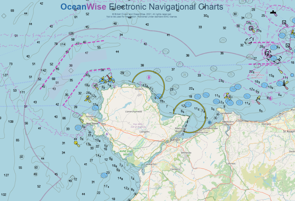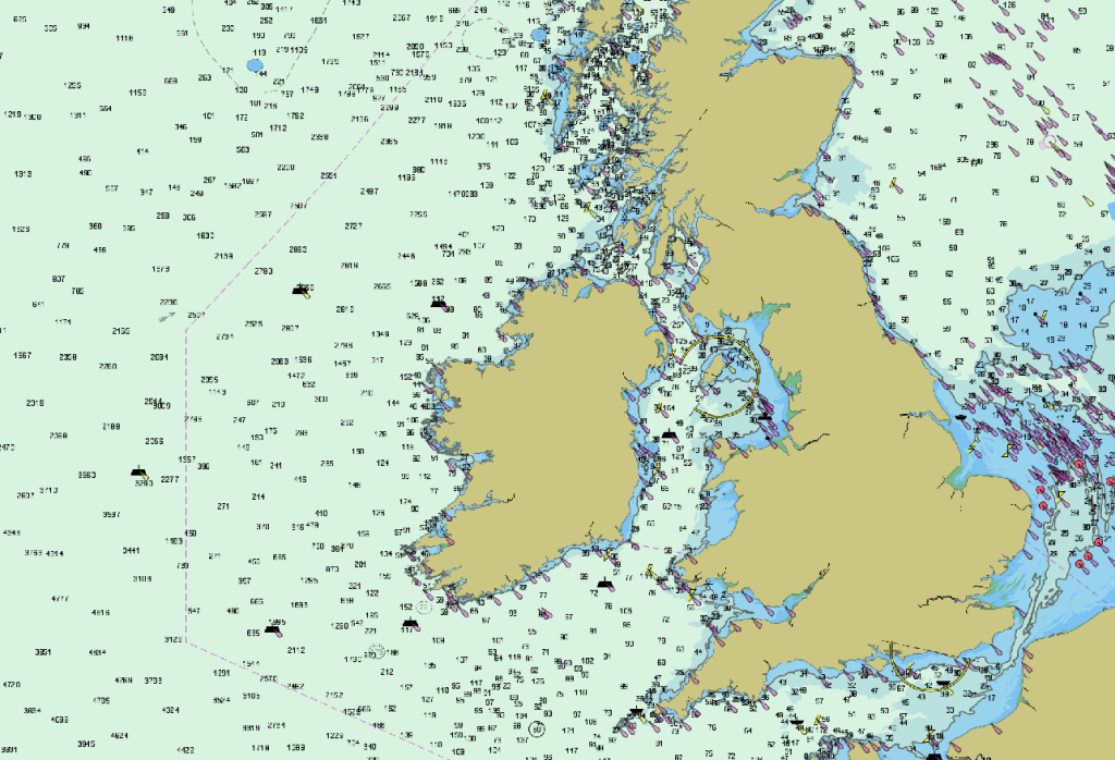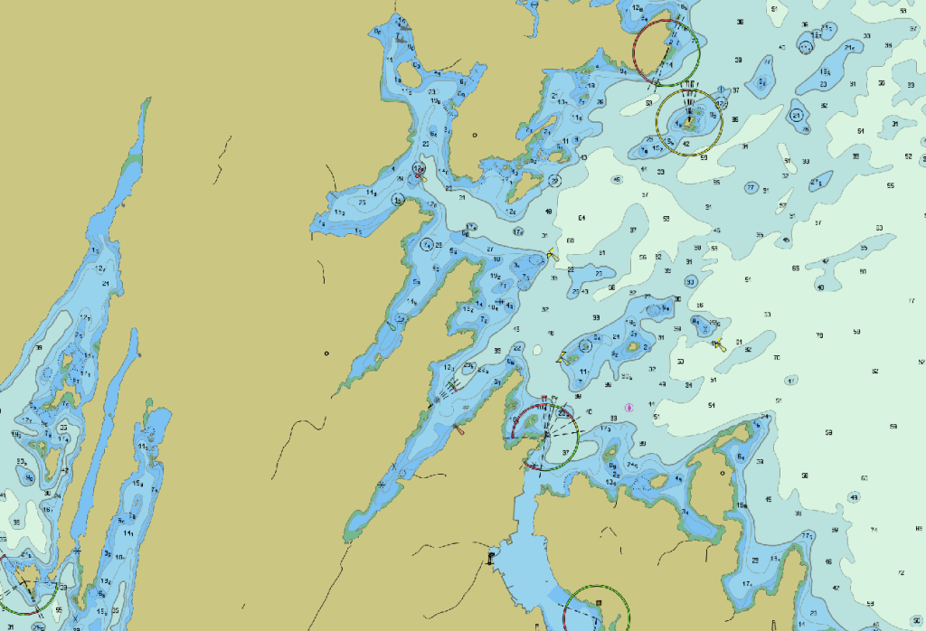


Our ENC Web Map Service is ideal when you need fast and easy access to marine mapping with the look and feel of a navigational chart. With the ability to switch layers on/off, you can combine your ENCs with your favourite land mapping and other layers for the perfect map.
Our ENC Web Map Service provides access to official Electronic Navigational Charts (ENCs) through an OGC compliant Web Map Service (WMS), with a fully configurable display, enabling you to seamlessly switch between layers, scale and use bands.
Our ENC Web Map Service has International Hydrographic Office (IHO) S-52 compliant symbology as standard. The service reads the ENC vector data directly, not via prepared image tiles, meaning you get high image quality regardless of the display scale. The ENCs are updated regularly, depending on the supply frequency from Hydrographic Offices.
Our ENC Web Map Service is proven for use in all popular desktop and web-based Geographical Information Systems (GIS).
Take a look at our demonstration site to try it for yourself.
If you want to produce your own ENCs, then see ENC Production. We can create software to help you produce ENCs, or, if you don’t have access to GIS, create mapping outputs for your specific needs, such as ENCs or other maps for critical projects or operations. Please click here for more information.
If you are still not sure which dataset suits your needs best, please refer to our Data Buying Guide or see our Data FAQs for more assistance.


We are able to provide a free 30 day demonstration version to our customers with thanks to Geomod via their Karmor WMS.