Intelligent marine and coastal mapping data
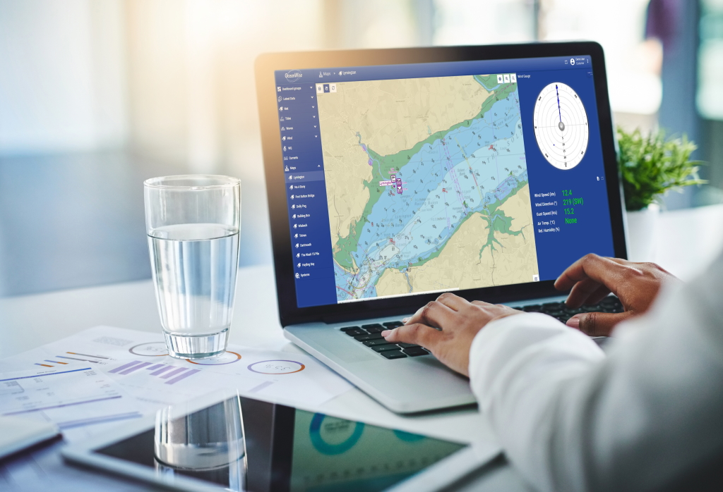
Our intelligent marine and coastal mapping data are designed to be compatible with all leading desktop and web-based Geographical Information Systems (GIS). They are quick and easy to use in planning, engineering, asset management, operations, regulation and a multitude of other applications. Buying Guide or contact us for support.
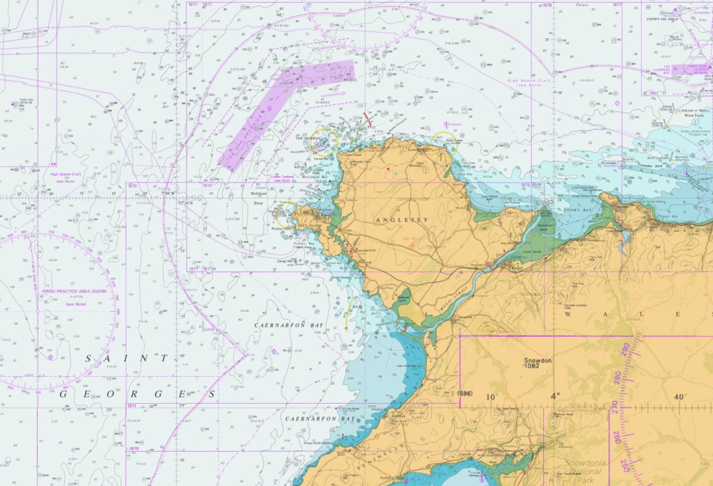
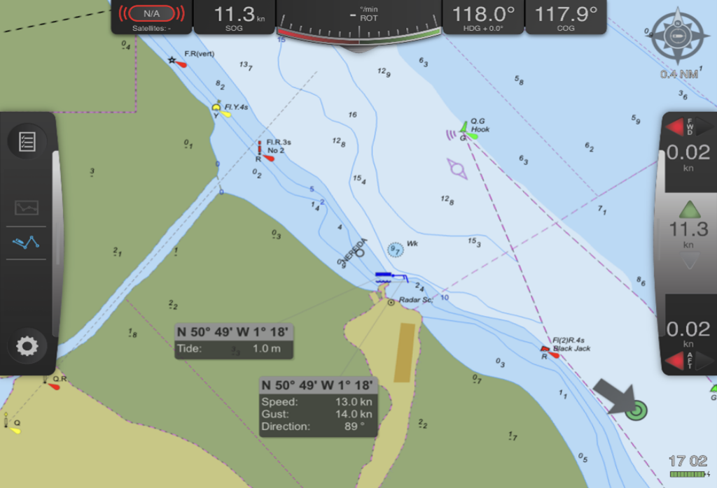
We have been sourcing and re-purposing marine mapping data from national hydrographic offices and other authorities for use in GIS for over 25 years. This experience, and two decades of development, has culminated in our range of products which are available as datasets in a variety of GIS compatible formats or as OGC compliant Web Mapping Services, as follows:
| Mapping Data Product | Dataset | Data Service |
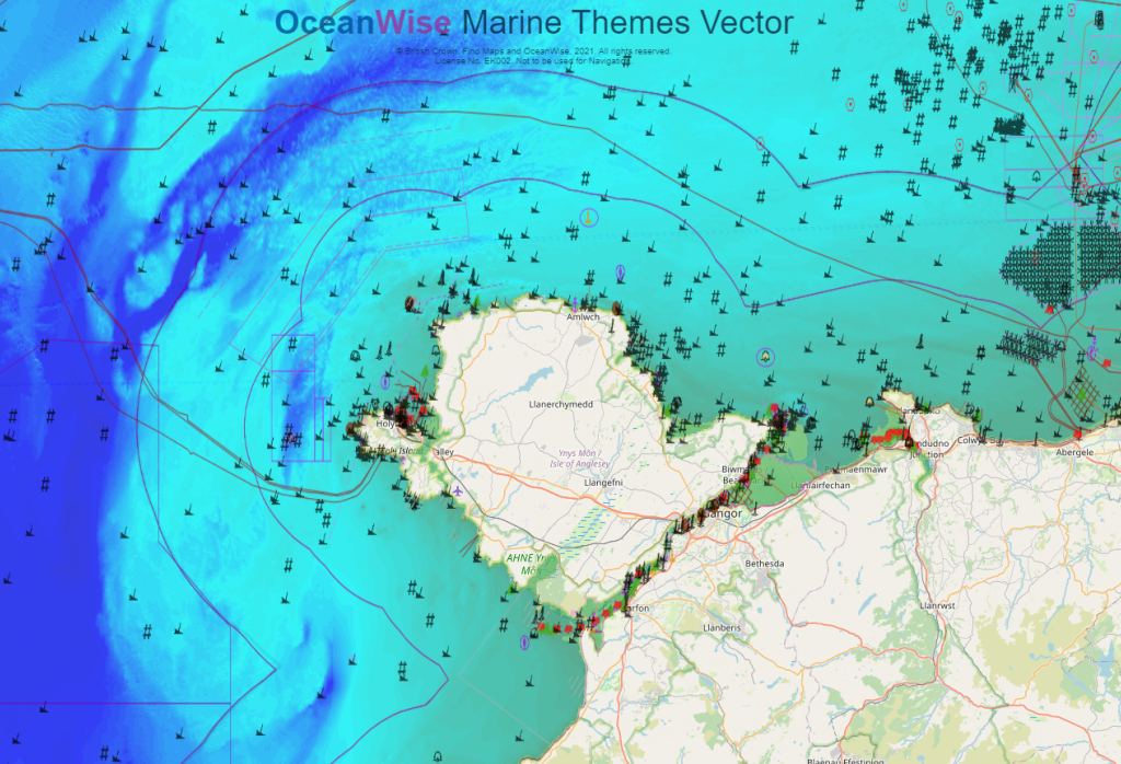
| Marine Themes Vector | Yes | Yes |
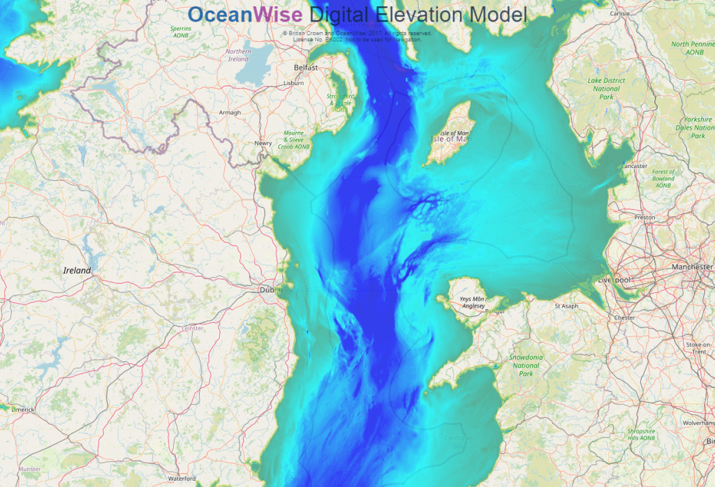
| Marine Themes Digital Elevation Model | Yes | Yes |
| Raster Charts | Yes | No |
| Raster Charts XL | Yes | Yes |
| ENC Web Map Service | No | Yes |
| RCXL Oceans | No | Yes |