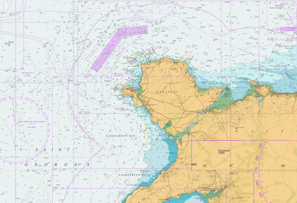
Raster Charts from OceanWise are electronic versions of the familiar nautical paper charts and are ideal for use as a base map or a simple nautical chart background. Raster Charts are derived from raster-based material obtained under licence from the UK, and other, Hydrographic Offices. They provide familiarity for users who work with nautical charts, are pre-symbolised and ready for immediate use.
Raster Charts can be opened using any image viewer software and are available as individual charts for different geographic areas at discrete scale levels.
OceanWise obtain Raster Charts under licence from the UK, and other, Hydrographic Offices. Availability is dependent on permissions granted by contributing nations worldwide.
Raster Charts are priced per chart. Prices vary depending on the area and scale required.
Please contact us directly if your needs are more complex or you need help in choosing your product or provider. For Government, Academia & NGOs customers please contact OceanWise directly.
Do you require a global Raster Chart dataset? Please see Raster Charts XL Oceans.
Do you have a project or ongoing requirement and are not sure what you need? See our Data Buying Guide or contact us and we can help advise the best product for your requirement.
Want to try it out first? Please see all our mapping products on our demo site or request sample data.
Do you want better land mapping? See our exclusive product Raster Charts XL or Raster Charts XL Oceans.
